New framework maps forestry risk from windthrow
A pioneering research project has developed a dynamic framework to predict windthrow vulnerability in Irish forests, helping to safeguard timber resources and carbon storage. This innovative tool combines remote sensing, soil data, and meteorological inputs to support climate-smart forestry management.
Source:
Teagasc Agricultural News
•
⏱️ 2 min read
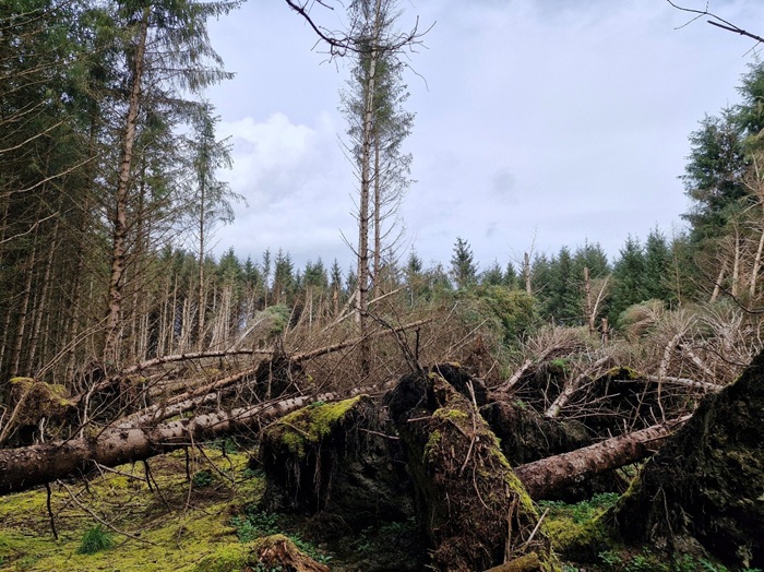
Windthrow, the uprooting of trees by strong winds, poses a growing threat to the Irish forestry sector, undermining both economic viability and climate benefits. Recent storms have caused unprecedented damage, with Storm Éowyn in January 2025 felling over 23,000 hectares—nearly two and a half times the annual harvest. Recognising the need for improved risk management, researchers at Teagasc Johnstown Castle have developed a novel framework to create site-specific vulnerability maps for forest stands.
This innovative approach integrates three key data layers: remote sensing to capture individual tree attributes, geotechnical soil maps to assess root anchorage, and meteorological data including wind speeds and precipitation to evaluate dynamic soil conditions. By modelling tree biomechanics and the cascading effect of failures within stands, the framework predicts where and why trees are most likely to fall. Validation against drone surveys confirmed the model’s accuracy in replicating real-world damage patterns.
Designed as a digital twin accessible via a user-friendly web portal, the tool enables forest managers to visualise risk levels, plan thinning or harvesting operations, and prioritise protective measures in vulnerable areas. This proactive strategy offers the potential to reduce storm losses, protect carbon stocks, and strengthen the sector’s resilience to climate change. With the storm season approaching, early identification of high-risk stands provides crucial time for intervention and adaptation.
1 views